Survey

PARTNERS. EVERY STEP OF THE WAY.
LIDAR DATA COLLECTION & MOBILE MAPPING
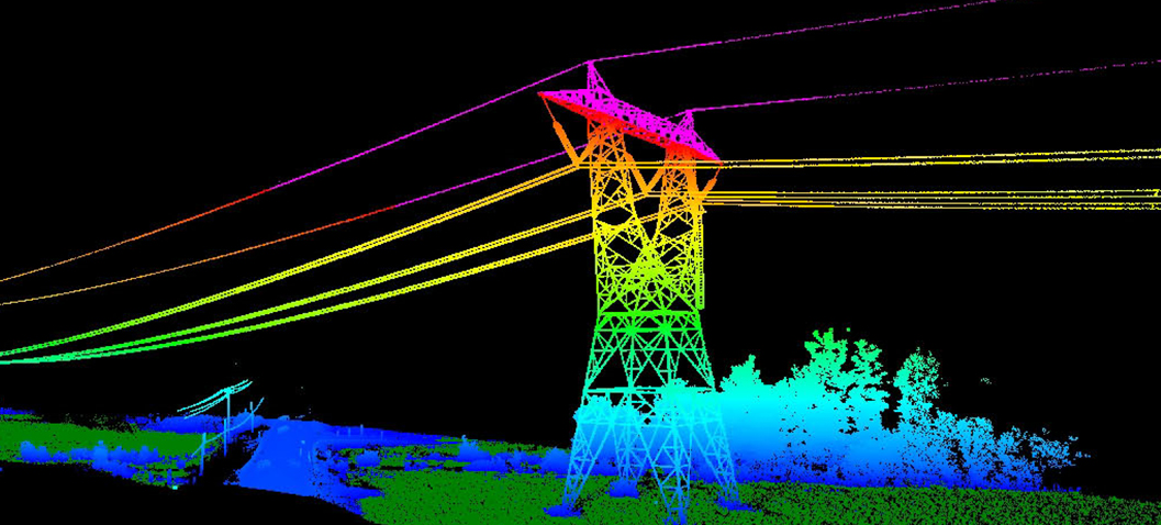
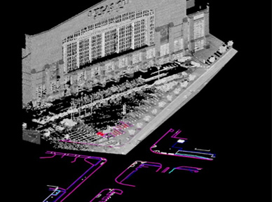
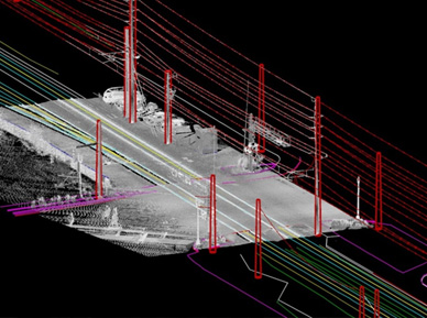
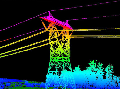
VS Engineering provides Mobile LiDAR surveying services for a variety of infrastructure projects. Mobile LiDAR data collection presents a great alternative to traditional survey methods, especially for large, heavily traveled roadways. Mobile Mapping is a process by which LiDAR data and imagery are collected through sensors and cameras mounted on a truck, van or other vehicle. The LiDAR sensors collect millions of points per second while the vehicle travels at or near posted speed limits. On-board GPS receivers and an inertial motion unit (IMU) calculate the precise position of the vehicle. Ground control points, placed at strategic locations prior to beginning the data collection, ensure an accurate dataset and proper alignment to the project coordinate system. The use of Mobile LiDAR often alleviates many of the safety concerns for survey crews.
Mobile LiDAR Projects:
- I-94 Bridges, Porter County, IN – 8,000 feet of six-lane interstate, 3,000 feet of interchange ramps, 3 pairs of bridges
- US 20, Michigan City, IN – over 19,000 feet of survey, 3 intersections
- US 421, Michigan City, IN – over 6,000 feet of four-lane highway, I-94/US 421 interchange
- VA Medical Center, Danville, IL – over 15,000 feet of roadway, nine parking lots
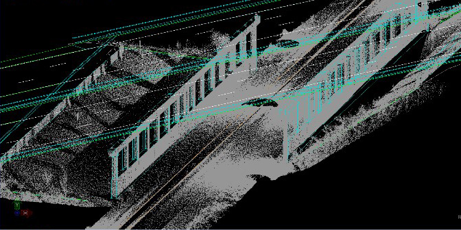
The mobile LiDAR system allows VS to collect highly accurate survey data on the paved surfaces and near side slope of the interstate or other roadways in a short amount of time with little or no disruption to the traveling public. To complete data collection for these projects, VS often employs its Riegl 3D Laser Scanner to collect LiDAR data under bridges and other areas that may be inaccessible to the mobile system. Conventional survey techniques are also used to acquire data on drainage structures, utilities and areas obstructed by vegetation. VS can then meld the three data collection techniques to complete the mapping and deliver topographic survey drawings.